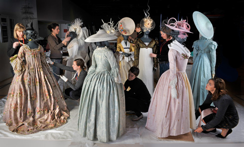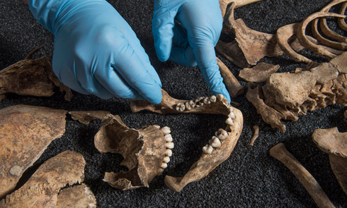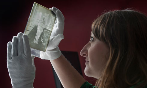
Collections
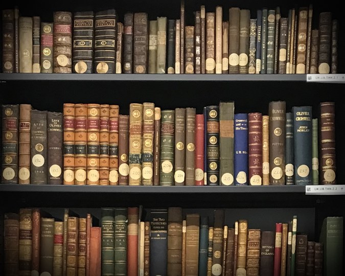
Our unique collections include over a million objects from thousands of years of London’s history. Search our collections to find out what we hold.
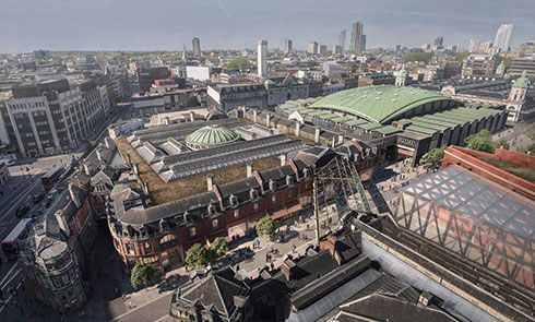
The new museum coming in 2026 will be situated at the heart of the capital’s historic Smithfield area next to Farringdon.
Until then, the fun continues at our Docklands museum!

Our unique collections include over a million objects from thousands of years of London’s history. Search our collections to find out what we hold.