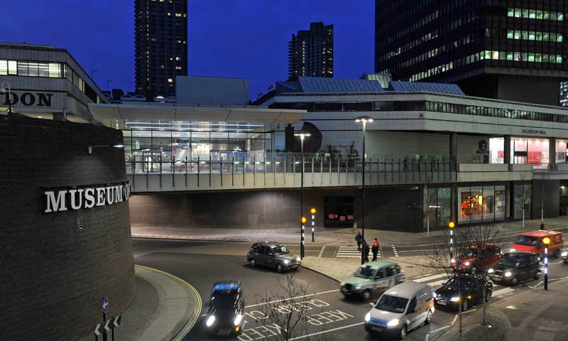
Find us at the Museum of London
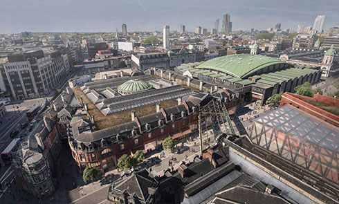
Our London Wall site is now closed after 45 brilliant years, but we are continuing our extraordinary journey to give the capital and the world a new museum for London. The new museum coming in 2026 will be situated at the heart of the capital’s historic West Smithfield.
Until then, the fun continues at our Docklands museum! Discover how Docklands shaped the city we know today through a wide range of activities for all – including major exhibitions, our free-to-visit permanent galleries, big community events and engaging family activities throughout the year. Find out what’s on at Docklands.
London Wall is still open for venue hire for conferences, meetings, dinners, receptions and weddings – find us below.