
Schools
Plan your free museum visit or online experience, and download our authoritative and fun resources for learning.
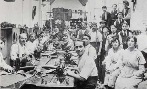
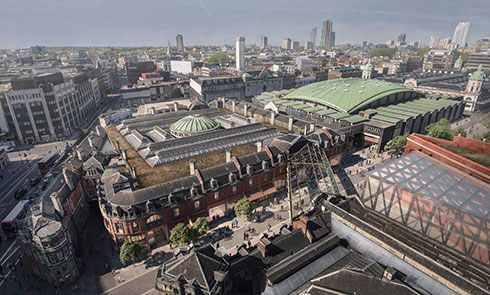
The new museum coming in 2026 will be situated at the heart of the capital’s historic Smithfield area next to Farringdon.
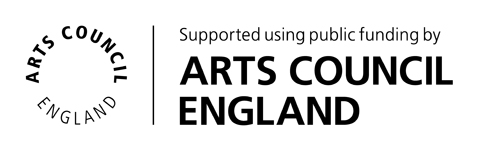
Until then, the fun continues at our Docklands museum!

Plan your free museum visit or online experience, and download our authoritative and fun resources for learning.
Early years foundation stage (ages 0-5)
Key stage 1 (5-7)
Key stage 2 (7-11)
Key stage 3 (11-14)
Key stage 4 (14-16)
Key stage 5 (16-19)
SEND
Stone Age to Iron Age
Roman
Medieval
Great Fire of London
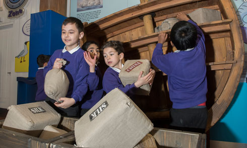
Victorian
World Wars
Explore more
Archaeology
Citizenship
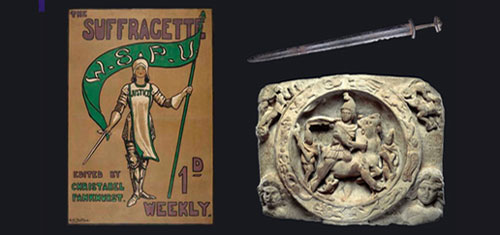
Diversity
Geography
History
PSHE
Explore more
Bring your own packed lunch and use our designated space
We have toilets just for schools, so no one is caught short
Our museum site is fully accessible
Feel free to take flash-free photos to capture your visit
Our shop has tons of pocket money goodies